
Complete Agricultural
Drone Solutions
Six powerful services designed to cover every aspect of modern farming — from survey to harvest.
Farm Survey
High-resolution aerial mapping for accurate field analysis, boundary detection, and terrain understanding.
Learn moreCrop Insurance
Accurate damage assessment and documentation for faster, fair crop insurance claims processing.
Learn moreContract Farming
End-to-end crop monitoring and reporting solutions for contract farming operations and aggregators.
Learn moreForest Department
Forest cover mapping, deforestation tracking, and biodiversity monitoring using advanced drone imaging.
Learn moreAgro Agency
Field-to-market data for agro agencies — helping you plan, source, and deliver produce with precision.
Learn moreCSR Projects
Corporate social responsibility drone programs supporting rural farmers and sustainable agriculture.
Learn more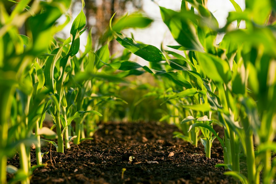
Spreying
Drones offer a multitude of benefits in various applications, including farm spraying, mosquito spraying, algae control in ponds, and locust control. They are approximately 40 times faster than manual labor, significantly improving operational efficiency. Drones can reach inaccessible areas with ease, enabling comprehensive coverage of vast or difficult-to-reach locations. They provide uniform spraying, ensuring consistent application and better control over the target area.
Additionally, drone-based spraying eliminates harmful side-effects on manual labor, as operators are not exposed to potentially hazardous chemicals. With their ability to operate efficiently, cover larger areas in less time, and minimize human risk, drones have become a valuable tool in agricultural, pest control, and environmental management practices.
Aerial Seeding
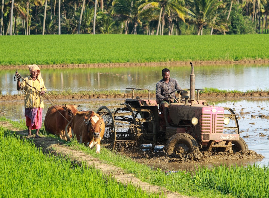
Geotagged drone swarms are transforming seed planting by enabling the rapid distribution of thousands of seed balls daily.
This approach is the fastest method for sowing seeds, enhancing farming efficiency.
The drones’ flight paths are geotagged, allowing for continuous monitoring of the sown areas and collection of tree data. This information helps identify areas in need of intervention and ensures optimal resource management. Additionally, drones play a crucial role in boosting tree coverage and expanding forests by dispersing seeds in hard-to-reach and varied landscapes.
The use of these geotagged drone swarms strengthens reforestation initiatives, supports environmental sustainability, and aids ecosystem restoration.
Crop/Seeding/Tree Counting
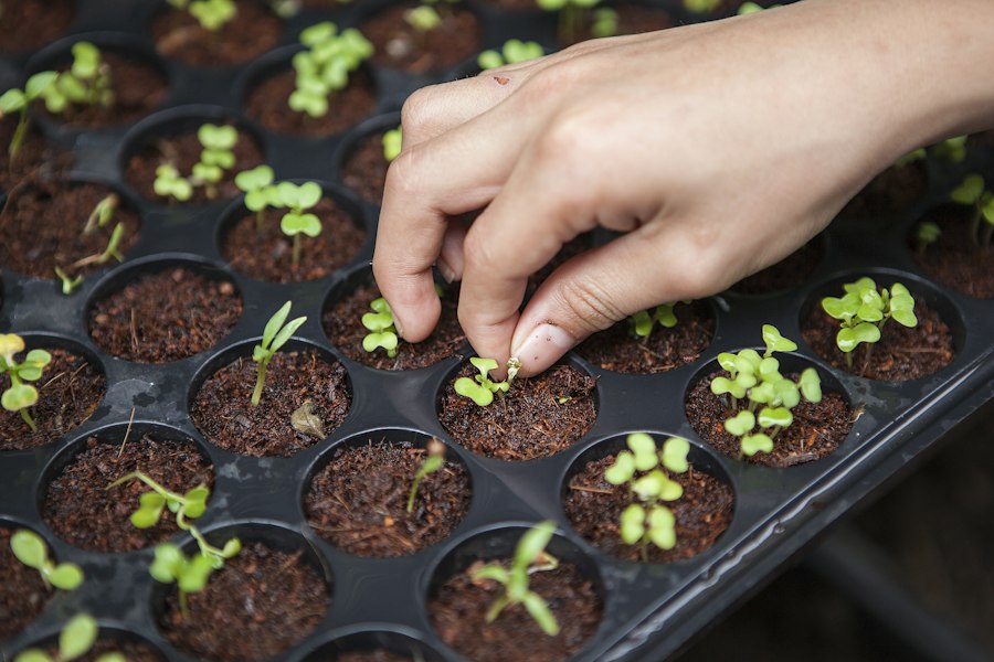
Our solution integrates computer vision and artificial intelligence to count entire fields in just minutes, delivering exceptional data accuracy for agricultural operations. We provide both detailed and overview analyses to meet various needs.
The detailed analysis offers precise plant population counts, helping farmers/forester make better decisions. In contrast, the overview analysis gives a broad assessment of plant populations by field zone, offering a more cost-effective choice. By lowering costs and delivering reliable data, we aim to enhance efficiency in agriculture and assist farmers in optimizing their operations.
Our technology equips farmers with valuable insights for better planning, resource management, and overall productivity.