
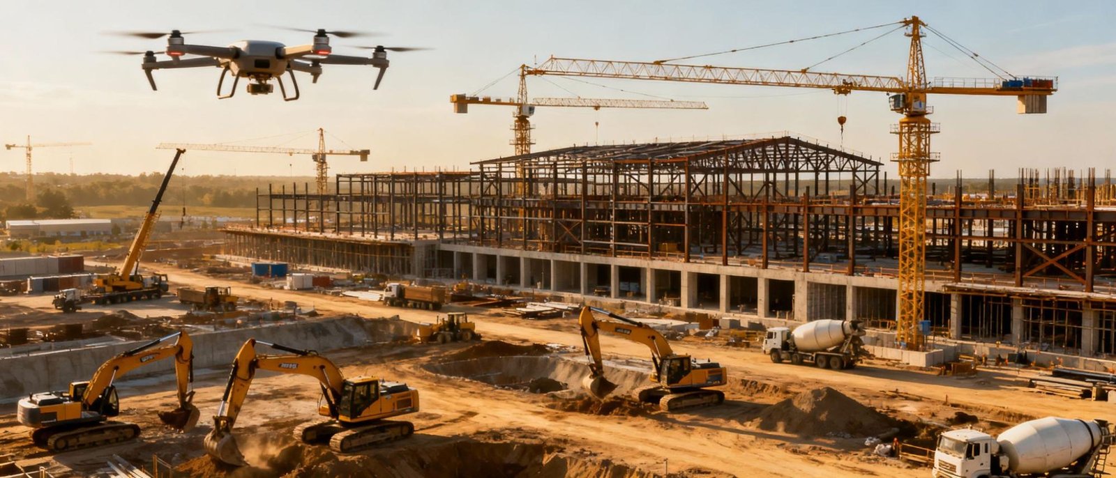
Build Smarter with Construction Drone Technology
In today’s fast-moving construction environment, staying on schedule, maintaining safety, and ensuring accuracy can make or break a project. Flywings Drone delivers advanced drone solutions for construction sites, helping teams gain real-time visibility, improve planning accuracy, and reduce on-site risks.
By combining high-resolution aerial imagery, drone mapping, and data-driven site analysis, our construction drone services help contractors, developers, and engineers manage projects more efficiently from the ground up.
Why Use Drones in Construction Projects?
Drone technology is transforming how construction sites are planned, monitored, and managed.
Real-time site progress tracking
Frequent aerial site monitoring helps teams visualize progress, spot delays early, and keep projects aligned with timelines.
Improved safety inspections
Drones inspect hazardous or hard-to-reach areas without putting workers at risk, supporting stronger site safety standards.
Accurate mapping and land surveys
Generate high-precision topographic maps, 3D site models, and volumetric data for earthworks and material planning.
Better collaboration and reporting
Share up-to-date aerial visuals with stakeholders, engineers, and clients for faster decision-making.
Reduced costs and rework
Accurate data capture minimizes survey errors, prevents costly mistakes, and optimizes resource utilization.
Construction Drone Services by Flywings
Aerial Site Surveys and Drone Mapping
Our drones conduct fast and detailed construction surveys, producing orthomosaic maps, digital elevation models, and 3D terrain data. This supports planning, design validation, and quality control throughout the project lifecycle.
Progress Monitoring and Time-Lapse Reporting
Scheduled drone flights capture consistent visual updates, allowing teams to compare actual site conditions against project schedules. These insights support better project management, documentation, and client reporting.
Volumetric Analysis and Stockpile Measurement
Flywings Drone provides accurate volumetric calculations for materials like soil, sand, and aggregates. This helps with inventory tracking, billing accuracy, and efficient material planning.
Structural Inspections and Condition Assessment
Drones inspect cranes, scaffolding, roofs, concrete structures, and facades for defects, misalignments, or safety concerns — reducing inspection time while increasing accuracy.
How Drone Technology Improves Construction Workflows
- Faster data collection
Site surveys and inspections that once took days can now be completed in hours. - Higher data accuracy
Aerial data supports precise engineering decisions and minimizes rework. - Enhanced worker safety
Drones replace manual inspections in risky or elevated environments. - Lower environmental impact
Reduced reliance on heavy machinery limits disturbance to sensitive areas. - Strong project documentation
Visual records and inspection reports support audits, compliance, and claims management.
Construction Sectors We Support
Why Choose Flywings Drone for Construction Solutions?
- DGCA-certified drone pilots with construction industry experience
- Customized drone flight plans based on site layout and project goals
- Fast turnaround with clear, easy-to-understand analysis reports
- Advanced drone platforms with thermal imaging and LiDAR capabilities
- Strong focus on safety, accuracy, and client satisfaction
Let’s Elevate Your Construction Projects
Drone technology enables construction teams to work with greater clarity, confidence, and control. From precise mapping to real-time progress monitoring, Flywings Drone helps you build smarter and safer.
Ready to Take Your Construction Site Aerial?
Get accurate site surveys, 3D models, volumetric reports and progress monitoring from DGCA-certified drone teams.
Talk to Our Experts