
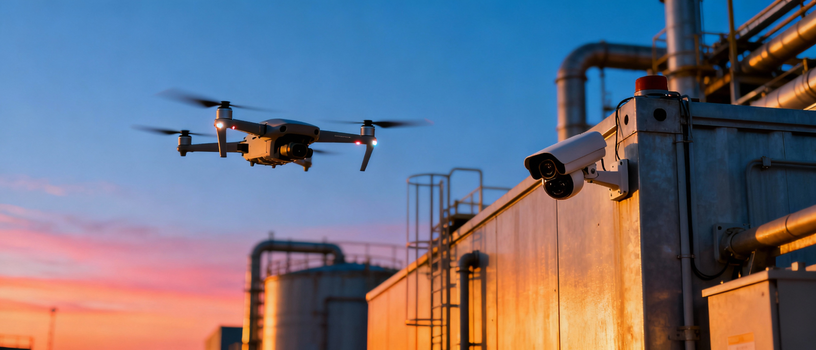
Introduction to Drone Survey and Mapping
Drone survey and mapping technology is transforming how land, infrastructure, and natural resources are analyzed. Compared to traditional surveying methods, drones offer faster data collection, higher accuracy, and safer operations. Using advanced drone cameras, LiDAR sensors, and geospatial tools, drone surveys generate detailed aerial imagery, topographic maps, and 3D models that support informed decision-making.
This approach is widely used across construction, agriculture, mining, and environmental projects where precision and efficiency are critical.
Why Use Drones for Surveying?
Drone-based surveying provides clear advantages over manual and ground-based methods.
Key Benefits of Drone Surveying
Speed
Drones can survey large areas within hours, significantly reducing project timelines that once took days or weeks.
High Accuracy
Drone mapping delivers centimeter-level precision through orthomosaics, elevation models, and 3D terrain data.
Cost Efficiency
Reduced labor, minimal equipment requirements, and faster execution result in lower overall survey costs.
Enhanced Safety
Drone surveys eliminate the need for personnel to access dangerous or unstable terrain.
Real-time Data Collection
Immediate data capture allows teams to make quicker, data-backed decisions.
Applications of Drone Survey and Mapping
Topographic and Land Surveying
Drone surveys produce highly detailed topographic maps that help analyze land elevation, contours, and gradients. These insights are essential for construction planning, urban development, and land-use analysis.
Construction and Infrastructure
Drone mapping supports construction teams by monitoring site progress, performing volumetric measurements, and planning earthworks. Time-lapse aerial data also helps track development stages and identify potential issues early.
Agriculture
In agriculture, drone surveys create precision maps that assess crop health, soil conditions, and irrigation efficiency. This enables targeted interventions, improving yield while optimizing resource usage.
Mining
Drone survey and mapping play a vital role in mining operations. Drones help measure stockpiles, monitor excavation progress, and ensure environmental compliance while keeping workers safe.
Disaster Management
During natural disasters such as floods or landslides, drone mapping enables rapid assessment of affected areas. High-resolution aerial data and 3D models support rescue planning and recovery efforts.
Environmental Monitoring and Forestry
Drone surveys are widely used to monitor deforestation, wildlife habitats, and reforestation progress. Accurate landscape mapping supports conservation projects and long-term environmental planning.
Technologies Behind Drone Surveying
Modern drone survey solutions combine multiple advanced technologies to deliver reliable results:
- High-resolution drone cameras for photogrammetry and detailed aerial imagery
- LiDAR sensors for accurate terrain modeling, even in dense vegetation
- GPS and GNSS systems for precise georeferencing and location accuracy
- GIS integration for advanced data analysis and visualization
- Autonomous flight planning for repeatable and efficient data capture
Benefits of Drone Surveying Over Traditional Methods
- Reduced field time and manpower, requiring fewer on-ground surveyors
- More comprehensive and accurate datasets for mapping and analysis
- Lower operational costs without heavy machinery or extended labor
- Safe access to challenging terrain, including cliffs, slopes, and unstable structures
Operational Considerations and Regulations
Drone survey operations must comply with aviation and data regulations. In India, commercial drone surveys require adherence to DGCA guidelines, including drone registration, pilot certification, and approved flight permissions. Responsible data handling and privacy compliance are equally important for ethical drone operations.
The Future of Drone Surveying and Mapping
The drone survey industry continues to evolve with rapid technological advancements:
As adoption increases, drone surveying will continue to redefine how industries plan, analyze, and execute projects.
Need a Precise Drone Survey for Your Project?
Get high-accuracy topographic maps, orthomosaics and 3D models from FlyWings Drone’s DGCA-certified survey teams.
Request a Free Quote